
Airport Operations
Airport Operations at DeKalb-Peachtree Airport (PDK) oversee the safe, efficient, and coordinated movement of aircraft and airfield activities.
Our team manages daily operations, supports compliance with federal and state aviation standards, and ensures that pilots, tenants, and visitors experience a well-maintained and responsive airfield environment. This section provides information on operational procedures, airfield services, and resources that help uphold PDK’s commitment to safety, reliability, and exceptional service.
Pilot Information
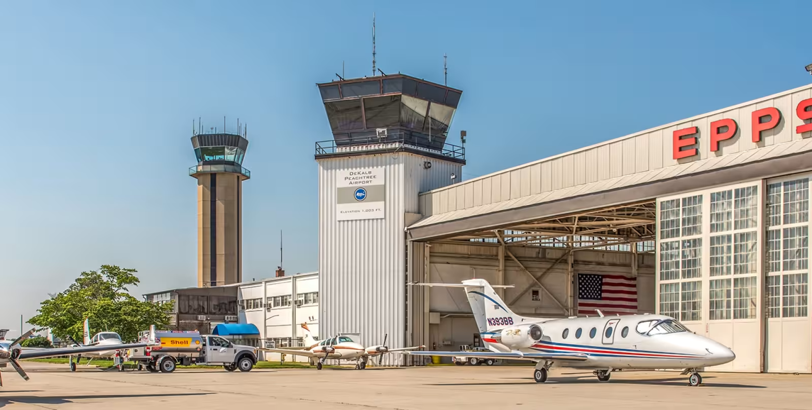
DeKalb-Peachtree Airport (PDK)
Coordinates: N33°52.52' W84°18.12'
Elevation: 998' MSL
Time Zone: Eastern
Safety Alert
PDK has one of the highest runway incursion rates among US airports. Exercise extreme caution during all ground operations. Review the RSAT presentation and FAA safety videos before operating at PDK.
Airport Basics
Operating Hours
- Tower:
6:30 AM - 11:00 PM (Mon-Fri)
7:00 AM - 11:00 PM (Sat-Sun) - Class D:
During tower hours - Class G:
When tower is closed
Traffic Pattern Altitudes
- Single Engine:
2,000' MSL (1,000' AGL) - Multi-Engine/Heavy:
2,500' MSL (1,500' AGL)
Prior Permission Required
- Aircraft Over 75,000 lbs. MTOW:
Contact 770-936-5440 or submit web form - Military Operations:
Contact 770-936-5440 or submit web form (preferred) - Class G:
When tower is closed
Night Curfew
- Voluntary Restriction:
11:00 PM - 6:00 AM daily
Emergency and aero-medical operations exempt.
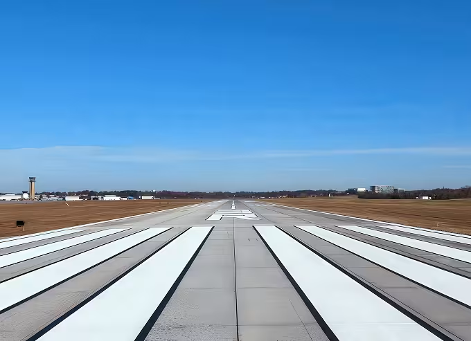
Runway Information
Runway 3R-21L
- Length: 6,001' × 100'
- Surface: Concrete/Grooved
- Weight: Single 46,000 lbs / Dual 75,000 lbs
- Aids: REIL/VASI (03R), MALSF/PAPI (21L)
- Note: 1,000' displaced threshold on 21L
Runway 3L-21R
- Length: 3,744' × 150'
- Surface: Asphalt
- Weight: Single 20,000 lbs
- Aids: PAPI both ends
Runway 16-34
- Length: 3,966' × 150'
- Surface: Asphalt
- Weight: Single 20,000 lbs / Dual 75,000 lbs
- Aids: REIL/VASI (34)
Runway 9-27
- Decommissioned
Helipad Charlie
- Size: 56' × 56'
- Surface: Concrete
- Location: North of Runway 16 threshold
- Note: Heavy helicopter traffic in NW corner of airport
Ground Movement
- Non-movement Areas: All of Taxilane 'K', ‘L’, and all apron/ramp areas are not controlled by ATC. Movement in these areas is at pilot's discretion and risk.
Communication Frequencies
Primary Frequencies
- ATIS: 128.4
- Clearance Delivery: 125.2
- Ground Control: 121.6
- Tower (CTAF): 120.9
- Atlanta Approach: 126.97
- Unicom: 122.95
- Pilot Controlled Lighting: 120.0
FBO Ramp Frequencies
- Signature Aviation: 130.9
- Aero Centers Atlanta: 129.05
- Atlantic Aviation: 130.7
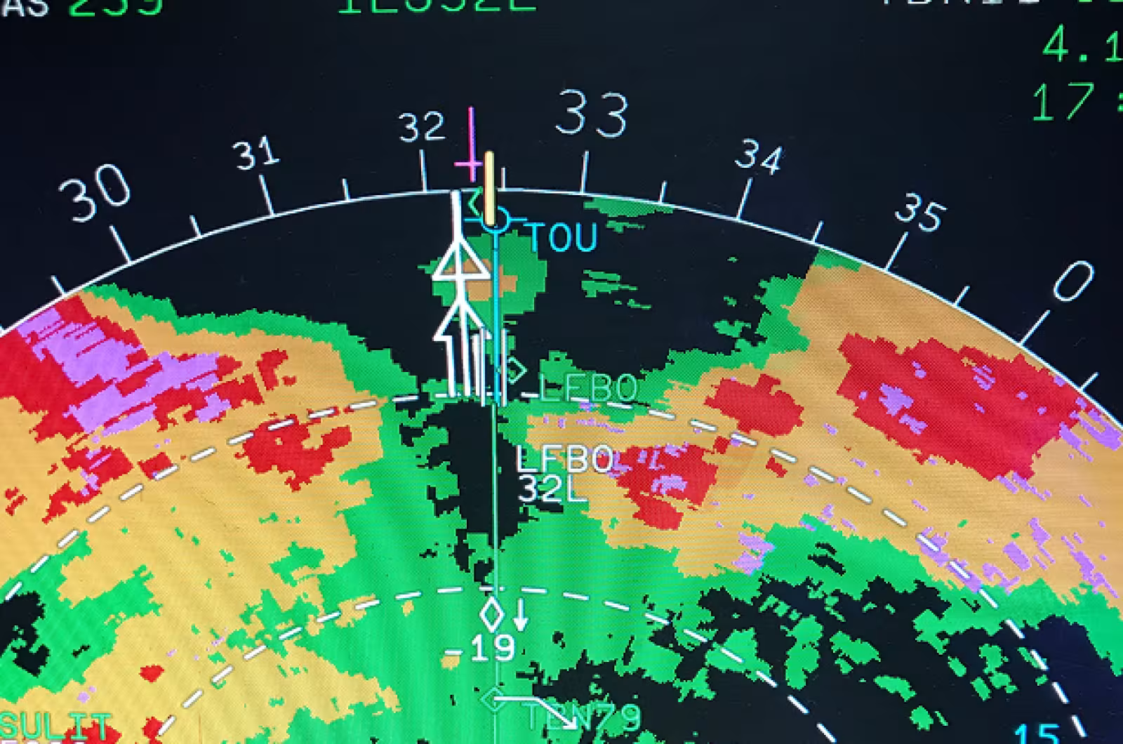
Weather & NOTAMs
Primary Frequencies
- ASOS Phone: 770-457-1691
- Flight Service: 800-WX-BRIEF
- NOTAM File: PDK
- Note: Local NOTAMs typically not filed more than 72 hours in advance. Monitor ATIS and check published NOTAMs for current information.
Noise Abatement Procedures
Important: These procedures are recommendations for community relations but must never compromise flight safety. Safety takes precedence over noise considerations.
Preferential Runway Use: When tower is operating, northbound flow preferred, however ATC may dictate that Runway 21L be used instead. When closed, use Runway 03R for departures when conditions permit.
Night Operations: Voluntary curfew 11:00 PM - 6:00 AM. Touch-and-go operations discouraged 10:00 PM - 7:00 AM.
Touch-and-Go Restrictions:
- Use outlying airports when possible
- Discouraged Sunday 8:00 AM - 12:00 PM (nearby church services)
Maintenance Run-ups: Prohibited 10:00 PM - 7:00 AM. Use designated areas only (Taxiway J pad preferred, or East Ops Area).
Intersection Takeoffs: Not recommended for noise abatement.
Reverse Thrust: Limit use beyond idle power. Use only for early runway turnoff.
Instrument Approaches: Runway 21L GPS/RNAV approach preferred for noise abatement.
Turbine Aircraft: Runway 21L GPS/RNAV approach preferred for noise abatement.
Noise Monitoring: PDK operates a Noise and Operations Monitoring System (NOMS). Operators producing high noise events may be contacted for education and compliance.
Required Safety Resources
All pilots operating at PDK should review:
Contact Information
- Airport Administration:
770-936-5440 - Emergency Services:
ARFF on field (no index), 24/7 security monitoring
Additional Resources
- NBAA Noise Procedures
- AOPA Noise Awareness Steps
- Flight Training: Multiple flight schools available
- PDK Noise Abatement Arrival/Departure Profiles (available by request)
Minimum Standards
PDK maintains commercial operation standards for all aviation businesses.
Drone Operations at PDK
Your complete guide to safe and legal unmanned aircraft operations at DeKalb-Peachtree Airport.
Recreational Flying
Flying for Fun at PDK
Recreational drone flying does not require FAA approval, but you must follow safety guidelines and notify PDK when operating within 5 miles of the airport.
Weight Restrictions
55 pounds maximum unless certified by an aero modeling community-based organization.
Commercial Operations
All commercial drone operations require FAA authorization and PDK approval.
Section 333 Exemption
Grants exemption for commercial operations in low-risk, controlled environments. Requires both a Section 333 exemption and a Civil Certificate of Waiver or Authorization (COA).
Special Airworthiness Certificate (SAC)
For experimental operations including research and development, crew training, and market surveys. Carrying persons or property for hire is prohibited.
Type Certificate
Required for restricted category operations or production aircraft. Contact the Los Angeles Aircraft Certification Office at 562-627-5200 for more information.
Contact Information for Commercial Authorization:
- Airworthiness Certification: 202-267-1575
- Aircraft Certification Office: 562-627-5200
DO:
- Fly at your local model aircraft club
- Take lessons and learn to fly safely
- Contact PDK when flying within 5 miles
- Fly for personal enjoyment only
- Stay within visual line of sight
DON’T:
- Fly near manned aircraft
- Fly beyond your line of sight
- Fly aircraft over 55 lbs. (unless certified)
- Ignore community safety guidelines
- Fly for payment or commercial purposes
Registration & Authorization
B4UFLY Smartphone App
All unmanned aircraft must be registered with the FAA. Visit: https://www.faa.gov/licenses_certificates
PDK Airport Approval
Required for operations within 5 miles of PDK. Contact us with your FAA-approved 333 exemption and COA documentation
LAANC Authorization
(Low Altitude Authorization and Notification Capability) Provides access to controlled airspace at or below 400 feet through the DroneZone system.
Contact PDK for Approval
Required for all drone operations within 5 miles of the airport
- Phone: 770-936-5440
- Email: PDKcomments@dekalbcountyga.gov
Tools & Resources
B4UFLY Smartphone App
Essential tool that shows flight restrictions and requirements for your location
Features:
- Clear status indicator for your location
- Planning mode for future flights
- Interactive maps with filtering options
- Links to FAA resources and regulations
LAANC & DroneZone
Online system for requesting authorization to fly in controlled airspace.
Provides real-time approval for operations at or below 400 feet.
Download LAANC
Drone Pilot Educational Campaigns
The "Know Before You Fly" campaign provides comprehensive safety education for drone operators of all levels.
Important Links
Drone Preflight - Key Requirements Summary
- All drones must be registered with the FAA
- Contact PDK before flying within 5 miles of the airport
- Stay within visual line of sight
- Maximum 55 pounds for recreational use
- Commercial operations require special authorization
- Use the B4UFLY app to check flight restrictions