Landscape photo that includes a tall DeKalb County business building and other smaller buildings with a large green forest behind it.

Maps

Explore DeKalb County’s parks, trails, attractions, and community destinations.

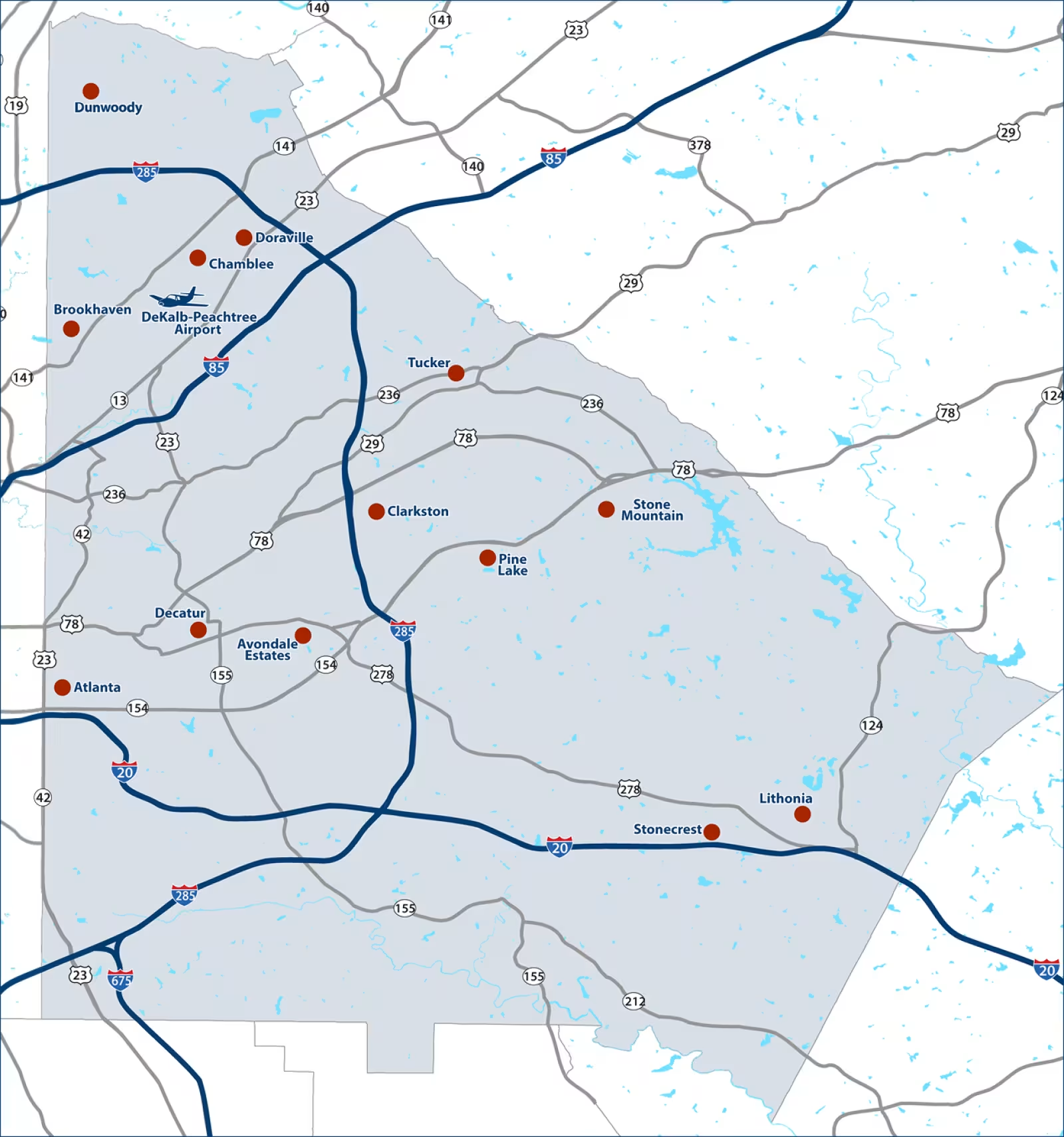
This map shows the 13 cities and towns that make up DeKalb County—Atlanta (partially), Avondale Estates, Brookhaven, Chamblee, Clarkston, Decatur, Doraville, Dunwoody, Lithonia, Pine Lake, Stonecrest, Stone Mountain, and Tucker—providing a clear overview of these communities and how they are geographically connected across the county.

Map of DeKalb County with interstates lined in dark blue and Cities marked with red dots. there is a small, dark blue airplane icon labeled DeKalb Peachtree Airport.
DeKalb County Map
White map of Georgia with a dark blue background with the interstates lined in blue. DeKalb County has a light blue hue and is labeled with it's name and a dark blue star.
Georgia Map

DeKalb County Newsletter

Sign Up